
Terra™
Spatial Reasoning AI Model. Terra enables any camera to recognize the world using TerraBase.
Staying true to your vision!
Terra Super Intelligence, giving you the power to navigate autonomously, stay in the fight & overcome EW deceptions.
Terra™
Terrain-recognition AI model that references TerraBase to give manned and unmanned aircraft a software-defined, GPS-denied navigation solution from start to finish.
TerraBase™
Artificial photographic memory of the world. TerraBases power Terra with an index descriptors of the world. Power your VBN using TerraBase in place of imagery.
- No need to use GPS!
- 90% More resilient then geospatial imagery
- 70% Less storage then geospatial imagery
World
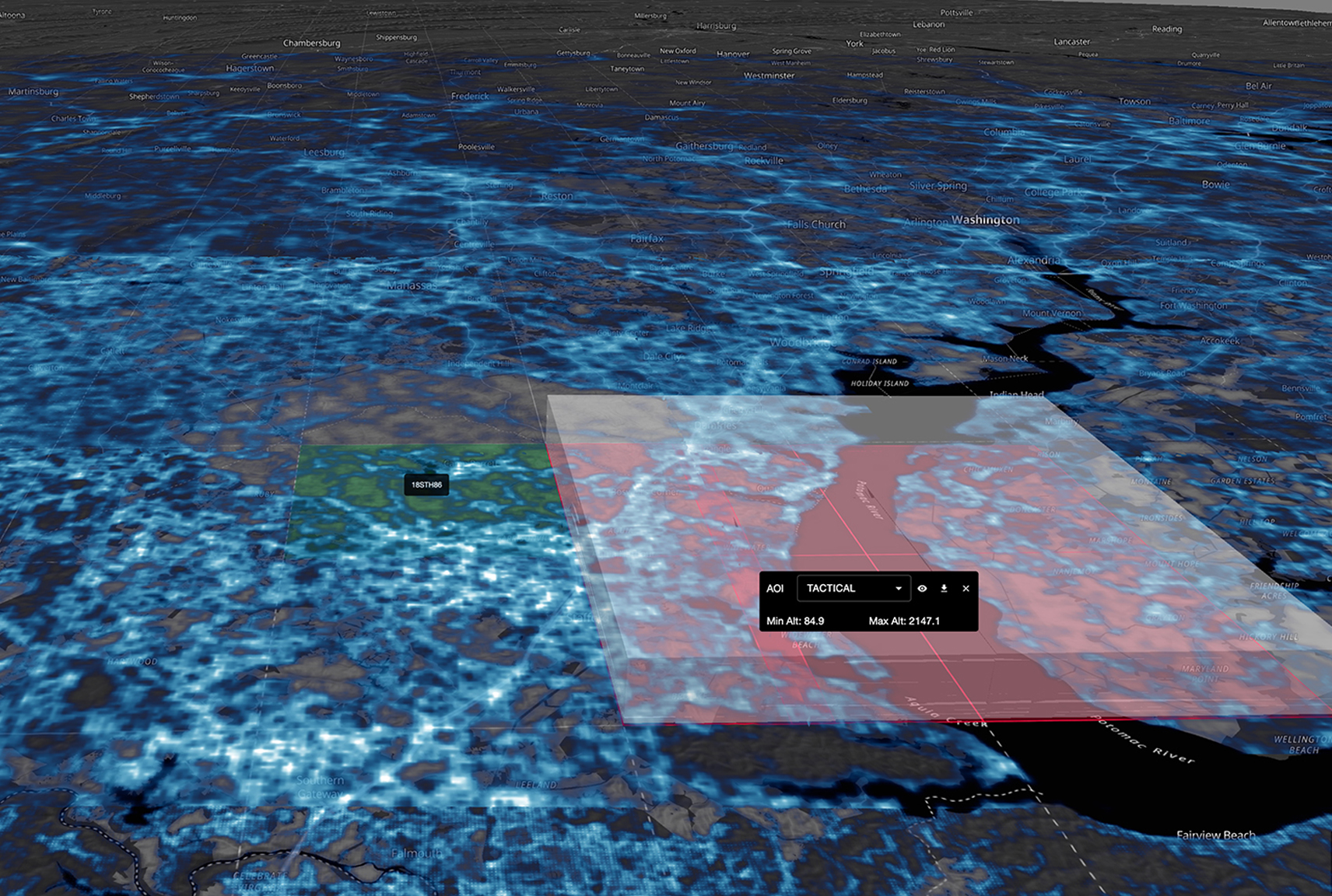
Worldwide medium-resolution index for autonomous aerial vision navigation across theaters.
Tactical
10,000 km² MGRS grid at high resolution for navigation and ISR in the area of operations.
Terminal
High-resolution 10,000 km² index built for targeting and terminal guidance.
TerraLock™
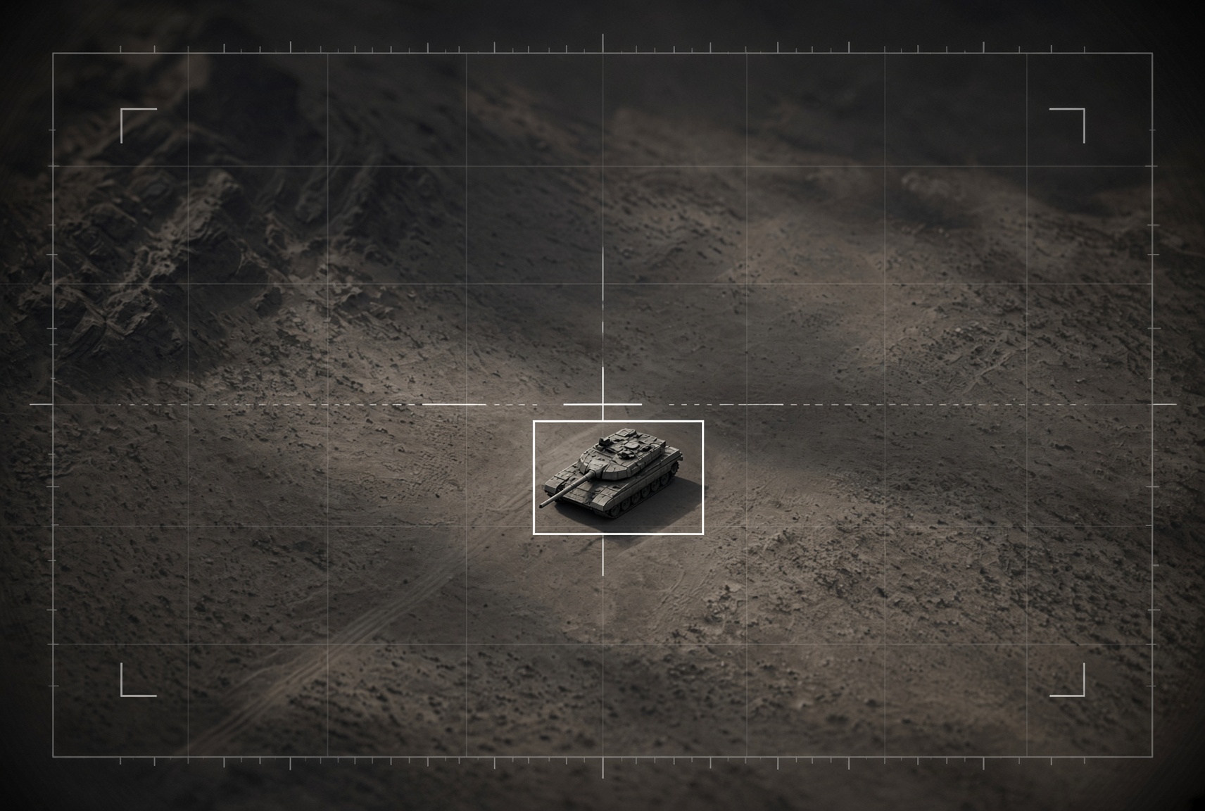
Transforming pixels into coordinates for precision strikes and spatially locking your ATR detections.
Pixelock™
Enabling your air vehicle to terminate on a designated coordinate or ATR detection box.


Rony Ledany
Chief Executive Officer
Rony Ledany began his career as a pilot, flying a variety of aircraft and accumulating over 8,000 flight hours. He made significant contributions to the geospatial community by developing a solution for streaming geospatial imagery, which was adopted by the Open Geospatial Consortium (OGC) as the industry standard-now known as the Web Map Tile Service(WMTS). Rony blended his passion for aviation and geospatial technology through Terra.


James Fowler
Chief Operations Officer
James Fowler is a serial entrepreneur, technologist and strategist with over 25 years of experience at the nexus of cutting edge technology, national security, and global strategy. A proven innovator and transformational leader, he has founded and led multiple companies, forging strategic partnerships across government, industry, and international entities to deliver high impact solutions in frontier technologies. His expertise in drone and counter-drone systems, secure communications, electronic warfare, sensor development, cyber and physical security and vision based navigation tools positions him as a key architect in advancing operational resilience and democratic governance.

Bill Shea
Chief Growth Officer
As Chief Growth Officer at Terra Pixel, Bill drives strategic expansion of the company’s AI-powered terrain recognition and alternative positioning, navigation, and timing (APNT) solutions for contested environments. Prior to Terra Pixel, Bill led the development and sales of airborne electro-optical sensor systems at Lockheed Martin. His 25-year career in the U.S. Air Force included pioneering roles such as establishing the U.S. Central Command Joint Fires Element, commanding forward-deployed fighter and MQ-1 Predator units, and accumulating 174 combat missions in the F-16. He earned a Bachelor of Science in Geography from the U.S. Air Force Academy, complemented by MBAs from Columbia Business School and London Business School.
Advisory Board

Tom Lash
Tom Lash is a recognized leader in the Intelligence technology sector with a 30-year career deeply rooted in serving the national security mission. An engineer by training who holds a patent in intelligent database technology, Tom’s extensive experience building technology-focused teams that design and deploy innovative Intelligence Systems, together with his inclusive, entrepreneurial management style, make him a dynamic and collaborative leader.


Jessica King
Jessica King serves on Terra Pixel’s Advisory Board, bringing 27+ years of National Security, Intelligence Community, and GEOINT experience and contributing to over $5B+ in program wins. She is a tactical and strategic visionary who helps leadership teams shape mission-aligned strategy, accelerate adoption, and build the partnerships and stakeholder pathways needed to scale Terra Pixel from innovation to operational impact.

John Parkes
JD Parkes is Founder of Parry Labs and Co-Founder of Skydweller Aero. He has extensive experience in operational leadership and business development. Prior to current roles, JD held the position of Airborne Mission Lead at the Office of Strategic Capabilities within the Department of Defense.

Mat Winter
Retired Navy Vice Admiral Mat Winter is President of Winter Strategic Solutions, advising firms in venture capital, private equity, and national security. He is a General Partner at Danu Venture Group and is an experienced Board Director credited with achieving clients’ strategic investment, profitability and growth goals. Mat’s previous 35-year Navy career experiences spanned from operational warfighting to senior acquisition executive, culminating as the 24th Chief of Naval Research and F-35 Program Director. He advises Terra Pixel on national security, technology feasibility, product market fit and strategic partnerships and growth.
Who are we?
Terra Pixel is an artificial intelligence aerial navigation privately held company. Terra currently recognizes most of the world and is expanding its artificial photographic memory daily.