Delivering AI-driven safety of flight navigation and precision guidance, overcoming electronic warfare challenges
Navigate confidently through EW contested environments. Powered by AI
Terra™
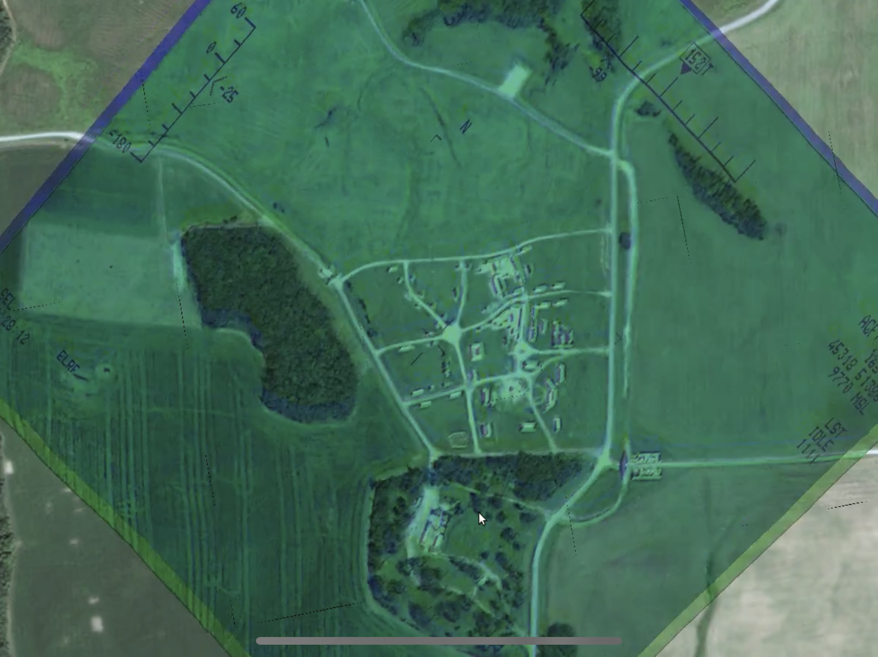
Terra Pixel's flagship product, Terra, delivers AI-enhanced positioning by visually recognizing and matching terrain features in real time. Purpose-built for EW contested environments, Terra creates vision-based location estimates for manned and unmanned aircraft in real time, ensuring flight path precision and operational confidence in complex terrain conditions.

TerraLock™
TerraLock delivers precise geo-registration by transforming pixels into coordinates, ensuring trusted location in a highly contented EW environment.
A Pixel Perfect GeoRegistration with & without GPS.
TerraBase™
Terra’s ground truth generated from trusted sources
TerraBase is the foundational terrain index powering both Terra and TerraLock. Acting as an artificial photographic memory of the Earth, it ensures precise navigation and geo-registration in highly contested EW environments.

TerraCard™

TerraCard is a system on module (SoM) designed to run AI-powered terrain recognition and geo-registration at the edge, providing rapid integration into diverse platforms using Terra, TerraBase, and TerraLock .
Compact. Powerful. Mission-ready
PAWS™

Positioning Awareness & Warning System (PAWS) provides real-time alternative positioning data through advanced terrain recognition, ensuring safe navigation even in GPS-contested environments.